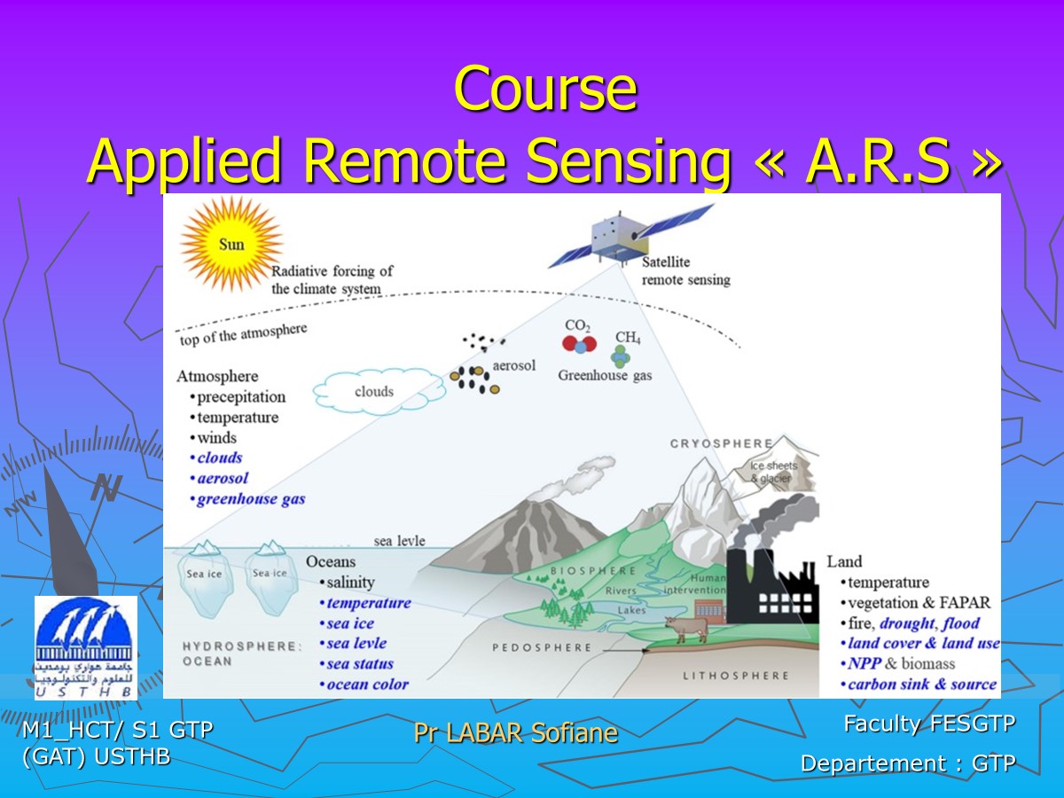
This course is intended for first-year master's students in hydrology, climate and territories. So, this course provides an in-depth exploration of remote sensing technologies and their applications in the study of hydrology and climate. The focus is on equipping students with the theoretical knowledge and practical skills necessary to use remote sensing data for hydroclimatic analysis and decision-making.
By the end of the course, students will:
- Understand the fundamentals of remote sensing and its applications in hydroclimatic studies.
- Be proficient in handling and analyzing remote sensing datasets.
- Apply geospatial techniques to solve hydroclimatic challenges, such as droughts, floods, and water resource management.
- Develop critical thinking skills to assess and interpret remote sensing data for research or professional use.
This course bridges the gap between theoretical understanding and real-world applications, preparing students for research roles or careers in environmental monitoring, climate change assessment, and resource management.
- Enseignant: labar sofiane labar